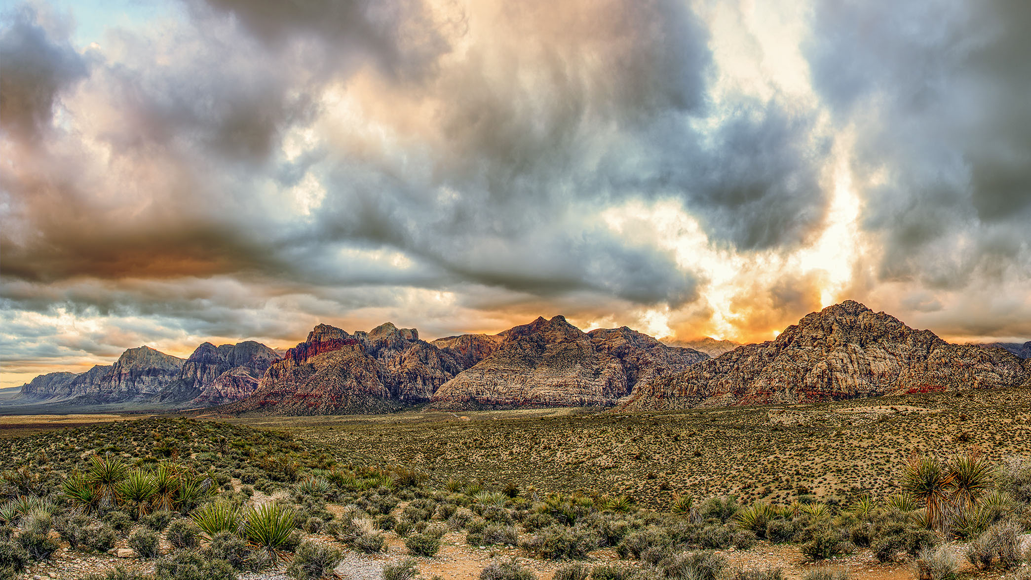
Red Rocks Canyon
The Red Rock area has a complex geological history, which over millions of years, helped create the region’s dramatic landscape. The Red Rock area was under an ocean basin during the Paleozoic Era 600 million years ago. Up to 9,000 feet (2,700 m) of limey sediments were deposited and eventually lithified to limestone. During the Mesozoic Era 250 million years ago, the earth’s crust started to rise due to tectonic shifts, and marine shales and sandstones were deposited. As the basin became isolated evaporite formations of salt and gypsum were deposited. Oxidation of the iron minerals in the sediments resulted in the red colors of some of the rocks. Deposition by streams and in swamp environments resulted in the formation of petrified wood in the area.
By 180 million years ago, the climate continued to change and the area became a desert with vast expanses of huge shifting sand dunes. These dunes accumulated over a broad area, up to 0.5 miles (0.80 km) thick, and were lithified, cemented with calcium carbonate and iron oxides. They developed as the colorful Aztec Sandstone.
During a mountain-building period called the Laramide orogeny around 66 million years ago, the Keystone Thrust Fault developed. The Keystone is part of a series of thrust faults which ran through much of western North America and through the Red Rock Conservation Area. The movement of this fault forced the older gray sedimentary rock over the younger red rocks, forming the varicolored landscape that can be seen in the mountain today. The thrust is exposed over a distance of 13 miles (21 km) along the Red Rock escarpment.
The Lee Canyon thrust plate may contain over 4,000 ft (1,200 m) of terrigenous rocks at the base. The Wheeler Pass thrust may contain at least 11,000 ft (3,300 m) of these rocks as well.
LOCATION
36.152155, -115.437836
ELEVATION
4000 ft (1219m)
A pano sunset image taken looking south west.